
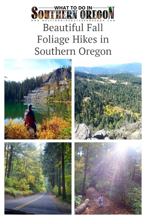
Beautiful Fall Foliage Hikes in Southern Oregon

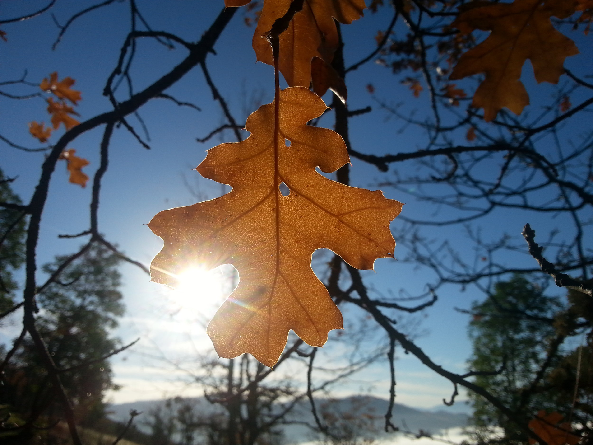
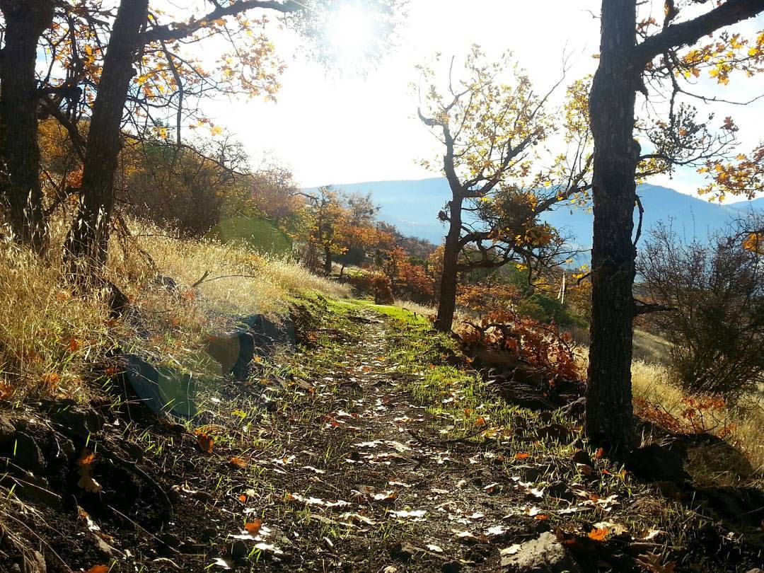
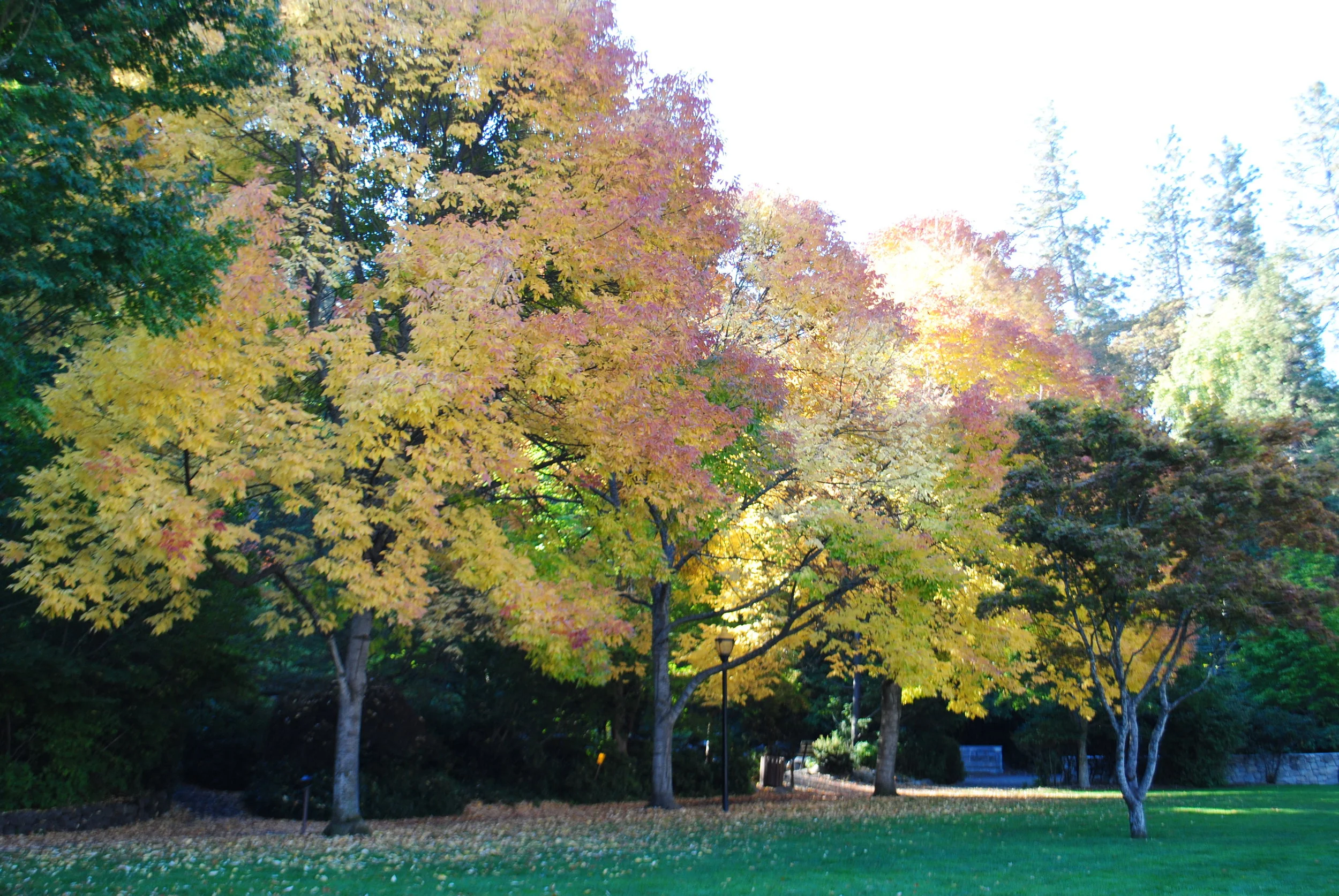
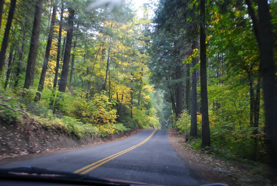
As you know fall is our favorite season here in southern Oregon. Of course there is the amazing bursts of color that show up everywhere, but it is also the crisp cool air that comes with the season that reinvigorates us. We make every moment count, and one of our favorite ways to celebrate the season is to take walks and hikes to view the fall foliage. Here are some of our favorite places to take in the fall foliage!
MEDFORD
ROXY ANN
ADA FRIENDLY TRAIL AVAILABLE
KID-FRIENDLY / DOG ON LEASH FRIENDLY
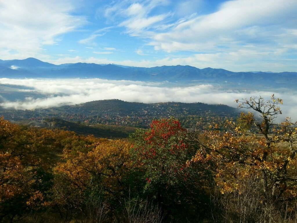
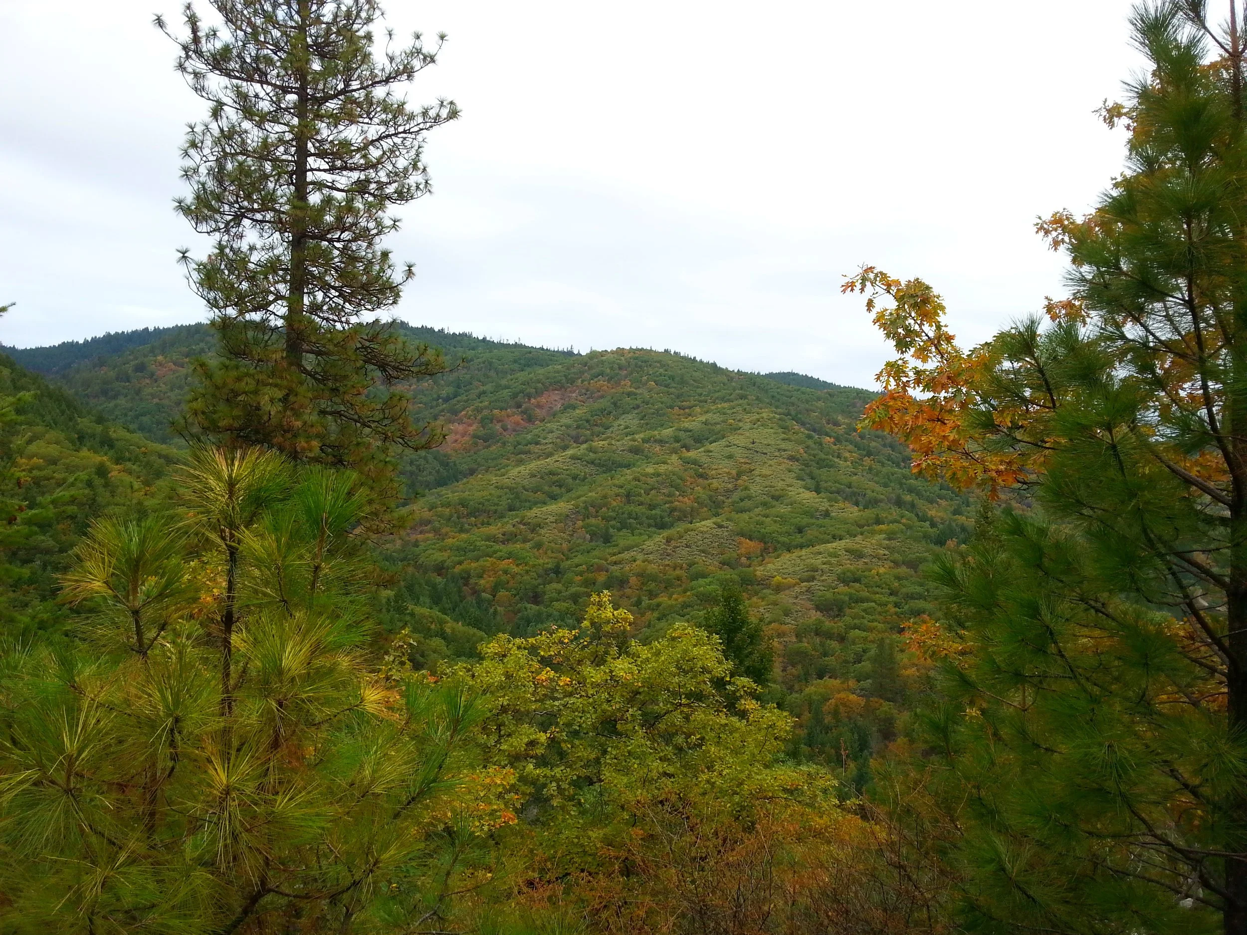
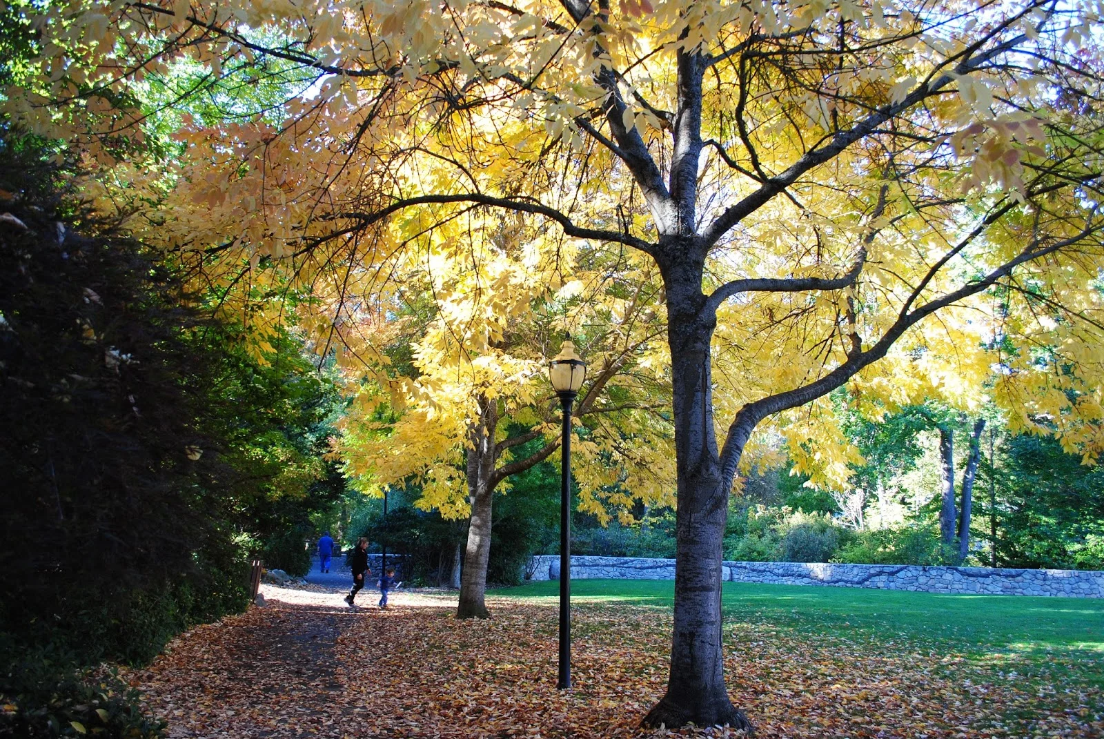
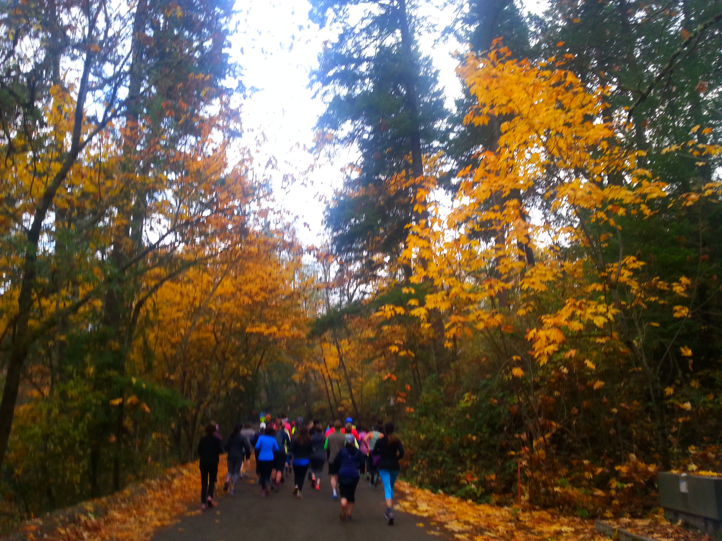
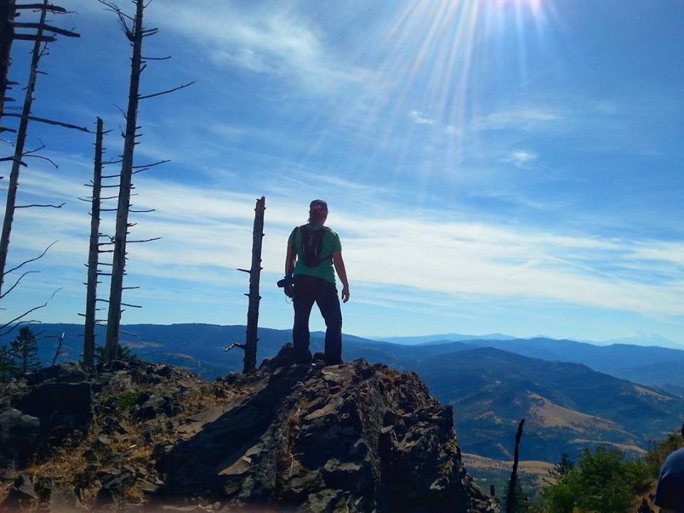
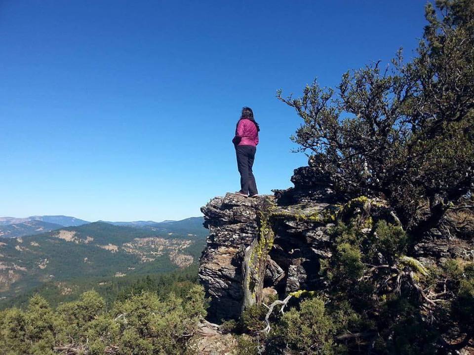
Starting right here in my hometown of Medford is one of our go to hikes Roxy Ann. The Loop Trail Road offers views of Medford and when you get to the backside you see Mt. McLoughlin and views of the Sky Lakes Wilderness. If you decide to hike to the top you get a gorgeous view of Ashland to Gold Hill. It is amazing with the golds, reds and oranges bringing this little mountain alive. I hate to say it but, the poison oak even adds a beauty with its scarlet leaves. On those days when we just need to get a little extra energy out of our kids we love to head up here for a quick jaunt. This is a kid-friendly and stroller friendly hike when you do the loop road. Extra little tidbit: this is also a beautiful spot to view the sun setting!
Distance: If you take the road all around the Loop Road it is 4 miles round trip. If you take the hike from the parking lot right below Prescott Park and up Manzanita Trail to the peak, it is 2 miles up and back.
Difficulty: Loop: Easy | Manaznita: Moderate
When to go: October for peak color.
To get there: From I-5 take Barnett Rd East to No. Phoenix Rd, take a left until you hit the next stoplight at Cherry Lane where you will take a right. Take Cherry Lane all of the way to Hillcrest Rd and take a right two streets up Roxy Ann Rd will be on your left. Take that all of the way up to at least the second gate to start your hike. TRAIL MAPS. MAP to Prescott Park
JACKSONVILLE
Only ten minutes from Medford Jacksonville has a ton of trails that are gorgeous and are perfect for kids to run around. Two that we love to view the fall colors are at Britt Trails and Forest Park.
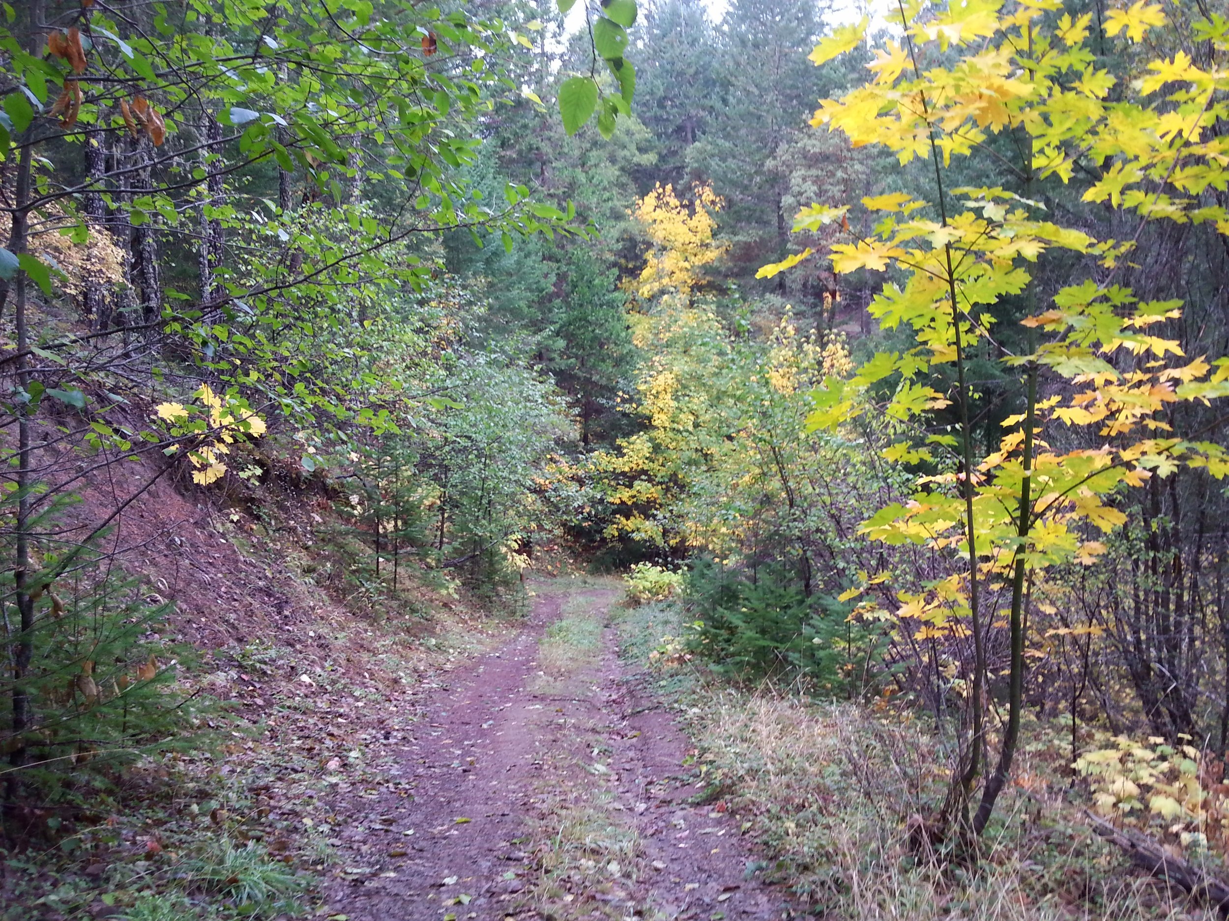
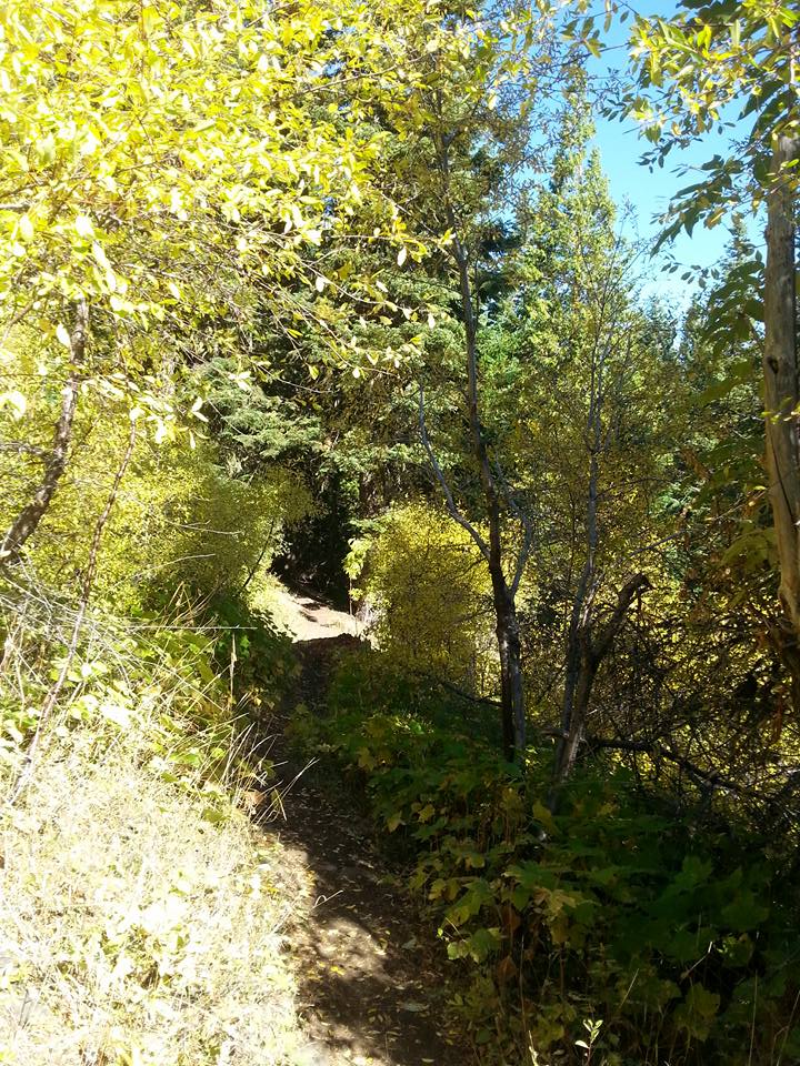
SARAH ZIGLER TRAIL at JACKSON FORKS
KID-FRIENDLY / DOG ON LEASH FRIENDLY
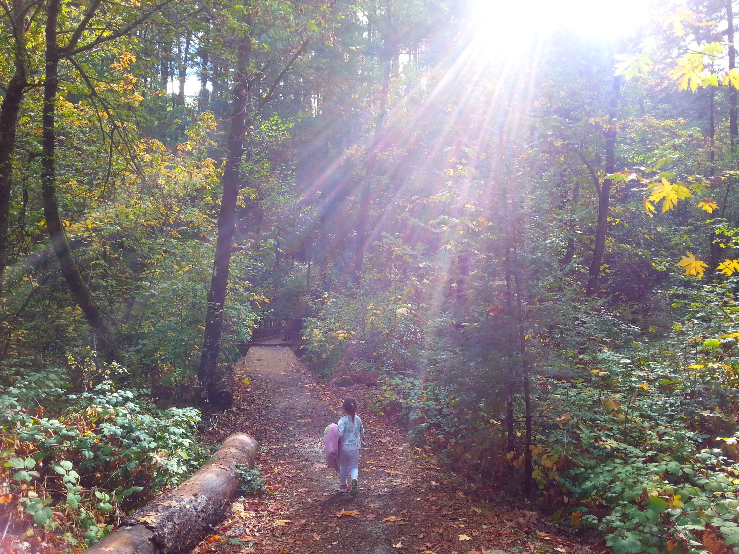
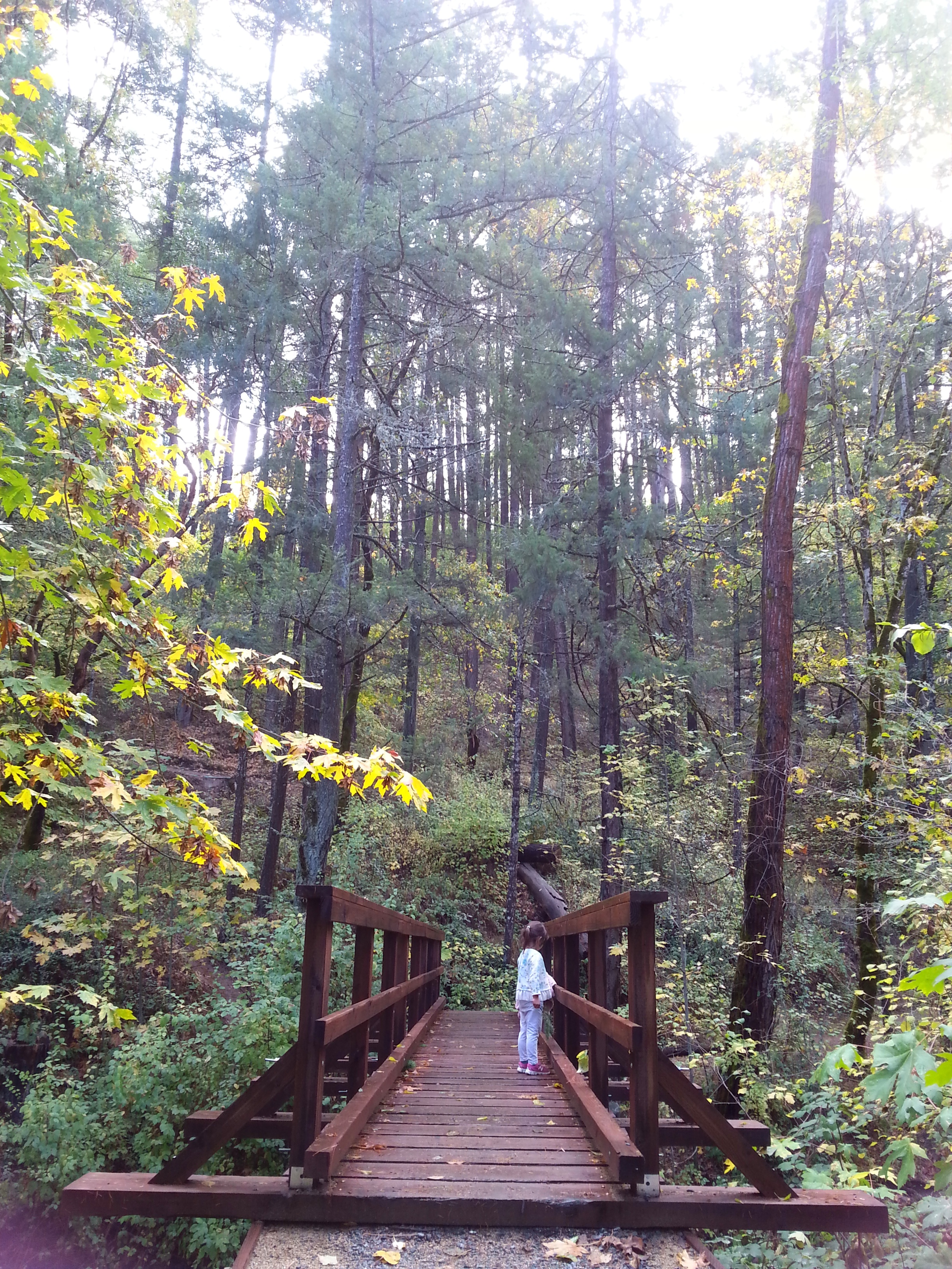
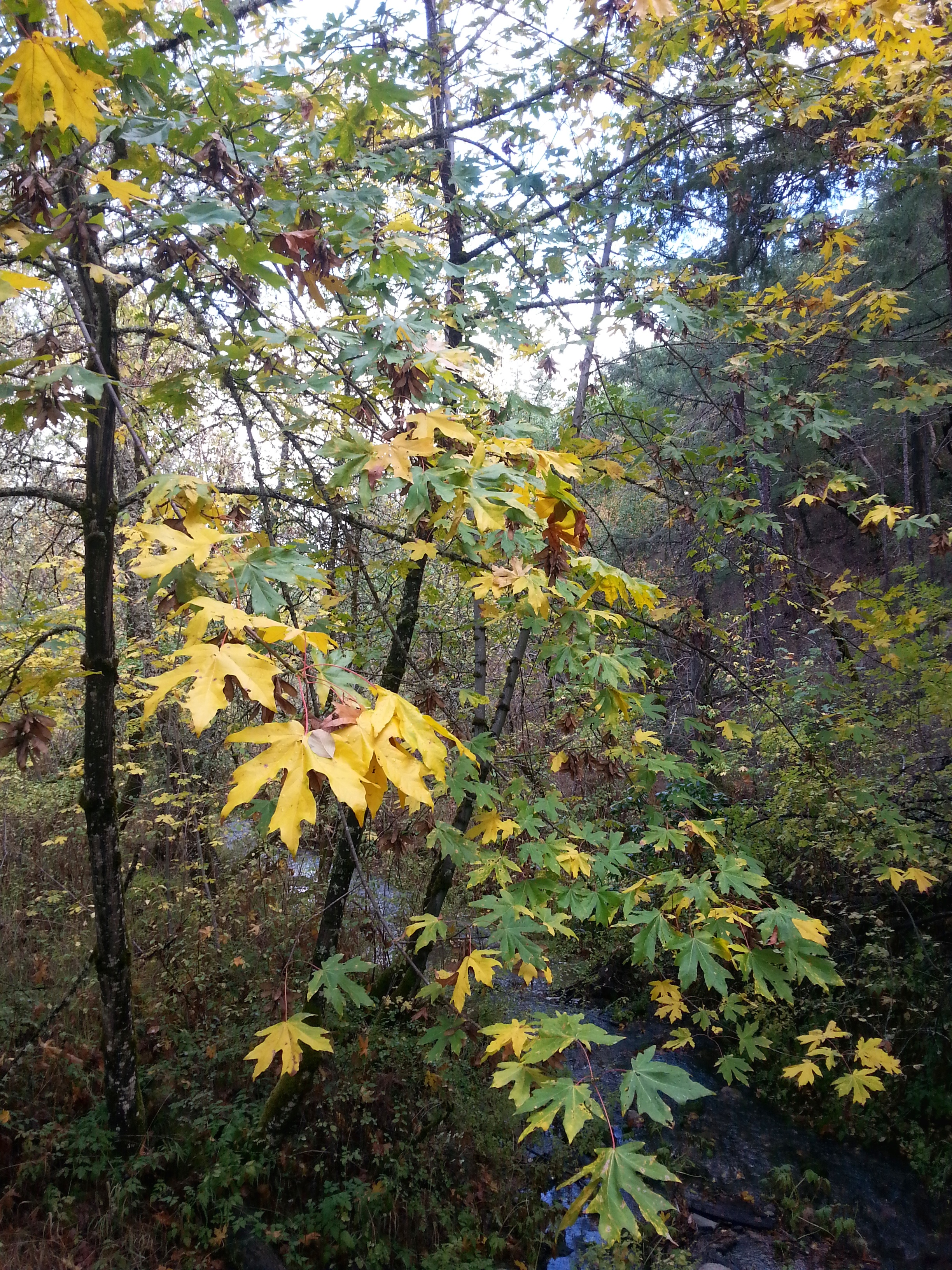
This trail starts us at a bridge that our kids enjoy throwing sticks over to watch race down Jackson creek; then we are taken under golden trees up a moderate incline. Continue on up Rich Gulch Trail and then take a left to Panorama Point for a gorgeous view of Jacksonville in all of its fall glory.
Distance: 2 miles up and back. | Difficulty: Easy
When to go: Usually the last week in September through October you will find some color and then leaves fall into November.
To get there: Once you are in Jacksonville from Medford, take California St until it becomes highway 238 as you head out of town and keep an eye for Reservoir Rd on the right. The trailhead will be on the left side of the highway right across from Reservoir Rd with plenty of parking for at least 10-15 cars. TRAIL MAPS. MAP to Jacksonville
FOREST PARK, JACKSONVILLE
DOG ON LEASH FRIENDLY
ATSAHU TRAIL
Forest Park Trails feels like it has an endless amount of trails to explore that link up to one another. My favorite view is off of the Atsahu Trail. The kids love the Canyon Falls Trail which starts at the same trailhead. (There isn't a waterfall here, just a creek along the trail.) The Atsahu trail is well marked but it is not the smoothest trek. Be ready for muddy conditions if it has recently rained.
KID-FRIENDLY / DOG ON LEASH FRIENDLY
NORLING TRAIL THROUGH THE JACKSONVILLE WETLANDS
This has been a favorite of ours since our kids were very small. Park at R-1 and take the trail to the immediate right. The interpretive trail identifies all of our native plants taking you around a pond and then up the hill to the Tony Hess bridge. You can circle back or continue on the trail to the left that will take you through a beautiful meadow and then you can come back on the Rail Trail for a one mile trek. This area connects to many other distances and rating levels!
Distance: 2 miles up and back. | Difficulty: Atsahu: Moderate | Norling: Easy
When to go: The whole month of October into November.
To get there: Take California street which becomes Hwy 238. About 1/4 mile out of Jacksonville you will see Reservoir Road on the right side. As you head up Reservoir Road you will see many forks in the road; stay to the left until you reach parking lot number 5. There will be a big yellow sign with number 5 on it. TRAIL MAPS. MAP to Forest Park.
ASHLAND
Ashland is a mecca for outdoor lovers not only locally but from all over the Pacific Northwest. Hiking, trail running, backpacking, snowboarding, mountain biking, if it's an outdoor sport you can do it here.
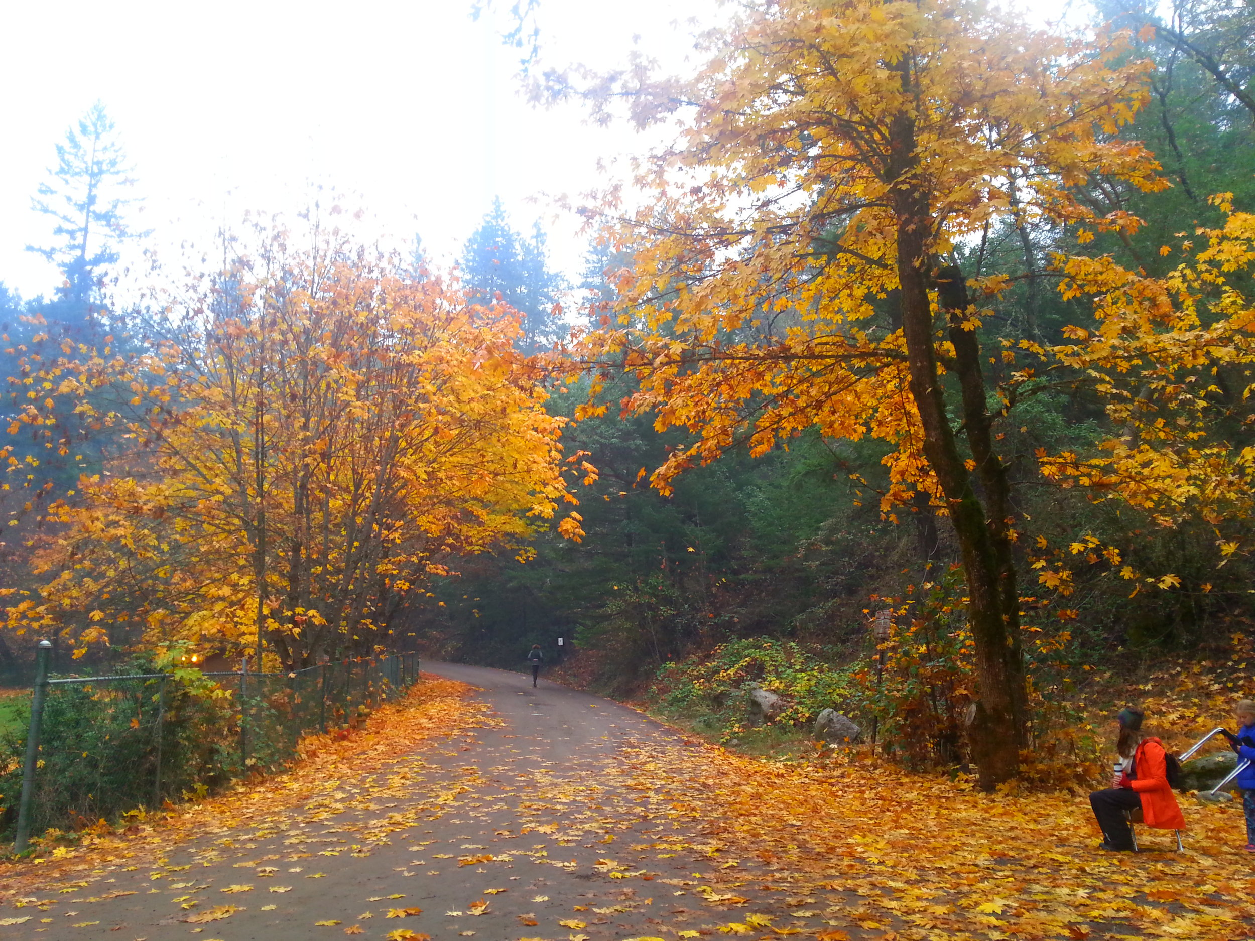
LITHIA PARK WALK/HIKE
KID-FRIENDLY / NO DOGS ALLOWED
I don't know that there isn't a beautiful time in Lithia Park but fall is especially gorgeous with the reds, oranges, and golds. We love to play at the playground and then take a nice long walk/hike up the trail to the reservoir. You cross so many wooden bridges and there is so much to look at along the way.
Distance: 2 miles up and back from the Plaza to the reservoir. | Difficulty: Easy
When to go: Last week in September through November.
To get there: Lithia Park is right in downtown Ashland at the edge of the Plaza. TRAIL MAPS. MAP to Lithia Park
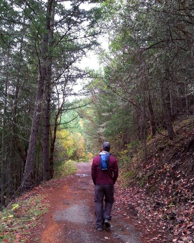
BANDERSNATCH
Gary and I experienced this hike for the first time when we participated in the Bandersnatch 5k Race; it takes you up the Bandersnatch Trail and through a little of Ashland's back country. This is one of the steeper hikes on this list but it is absolutely stunning, ignited in golds and reds. If you want to continue this three mile hike you can link up to Lithia Park or some of the Alice in Wonderland Trails. It is also a great trail for older kids because the views are fantastic. We took Ilias' 5th grade class on this and they did awesome!
Distance: 3 mile loop when you start from the parking area. | Difficulty: Moderate
When to go: Mid-October through the weekend before Thanksgiving unless we get a lot of rain and the leaves get knocked down.
To get there: This trailhead is located above the Granite Street Reservoir. The parking area will be straight ahead and then your hike will start at the corner of Granite and Glenview Drive. The best description of the hiking trail is HERE. MAP
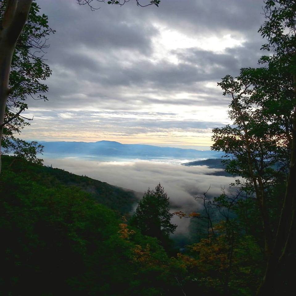
GRIZZLY PEAK
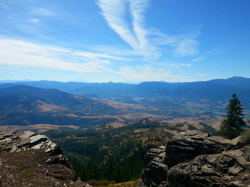
Grizzly Peak is an absolute beautiful trail with stunning views to reward you at the peak. The trail is no too narrow though there is a bit of an incline at times, and is most definitely doable with the kids.
Distance: 4.7 Mile Loop | Difficulty: Moderate
When to go: October
To get there: GPS is pretty straight forward. You can either park by the trail or below there is little more parking below. MAP
HOBART BLUFF
Hobart Bluff is by far the easiest hike in this story with a very gradual incline and nice wide trails. It is such a relaxing easy hike for all types of hikers with phenomenal views much of the way and our kids loved exploring the top! You can get a 360 view depending on where you are.
Distance: 2.4 mile | Difficulty: Easy
When to go: Early to mid-October
To get there: Make sure you are paying attention because Soda Mountain Road will be on the right that will take you to Hobart Bluff and the Pacific Crest Trail. MAP
TALENT
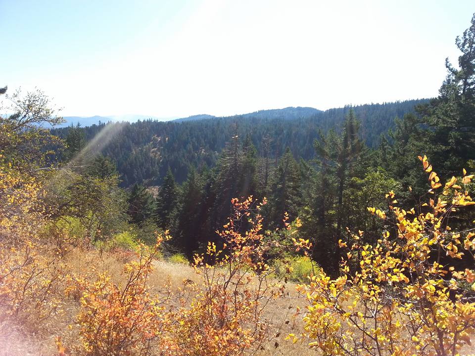
WAGNER BUTTE DRIVE & HIKE
One day a couple years back we decided to take a fall drive and we were surprised and delighted by the shocking reds and oranges that we ran into along Wagner Creek Road. The drive is stunning and takes you to the trailhead for one of the toughest hikes in the southern Oregon.
Distance: If you decide to do the hike it is an 11 mile hike. | Difficulty: Difficult
When to go: End of September through October
How to get there: MAP
GRANTS PASS
CATHEDRAL HILLS - SKYCREST TRAIL
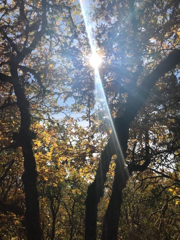
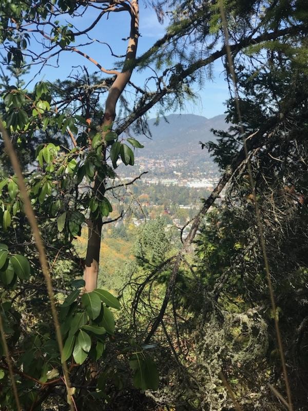
Photo credit: Emily Wolfe
Grants Passes Cathedral Hills is a huge network of trails that is wonderful any time of year, but fall offers stunning views and pops of color that make you want to take on every trail. The Skycrest Trail is very kid-friendly.
Distance: 1.6 Miles | Difficulty: Easy
When to go: End of September through October
How to get there: MAP
KLAMATH FALLS
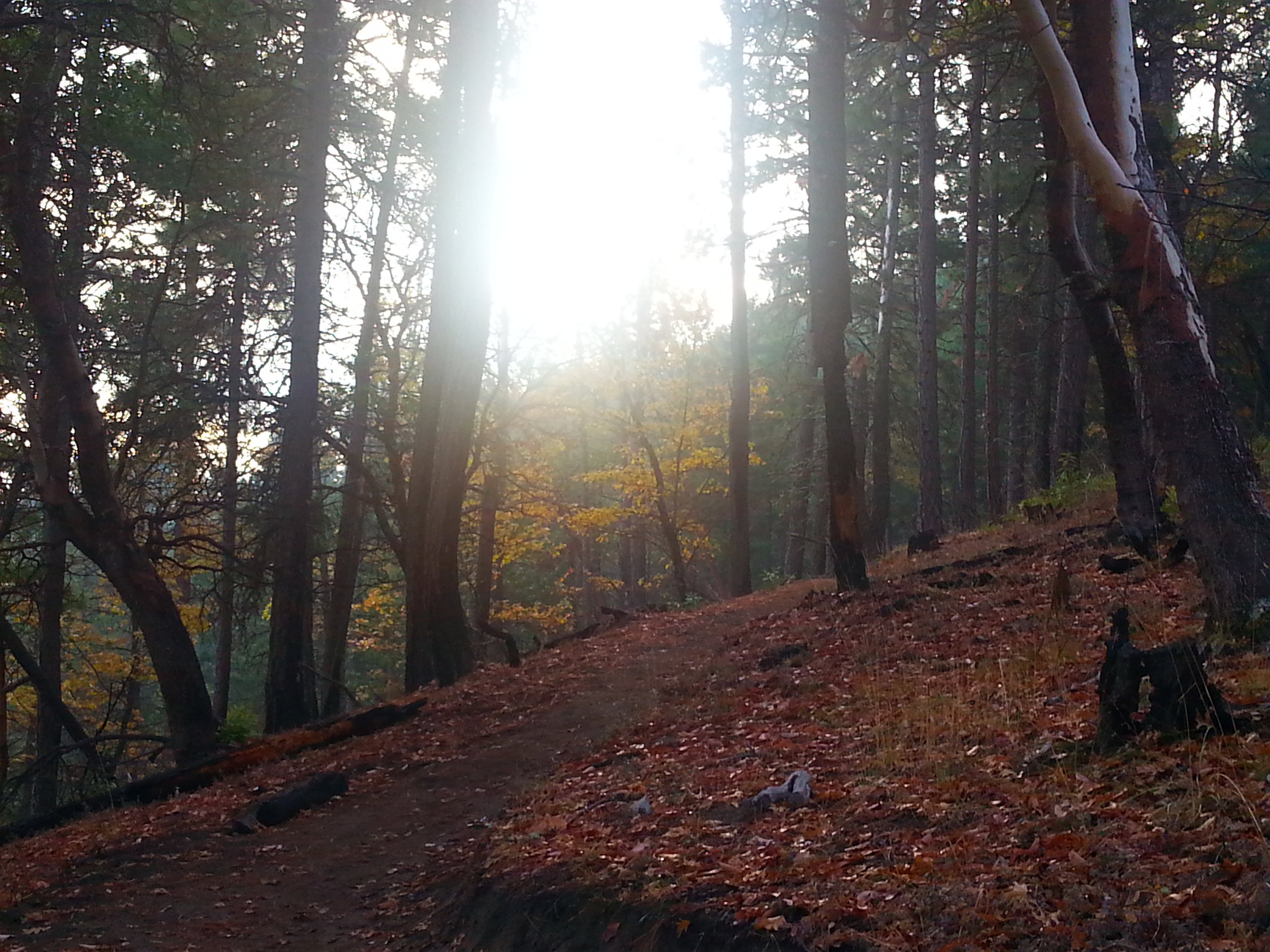
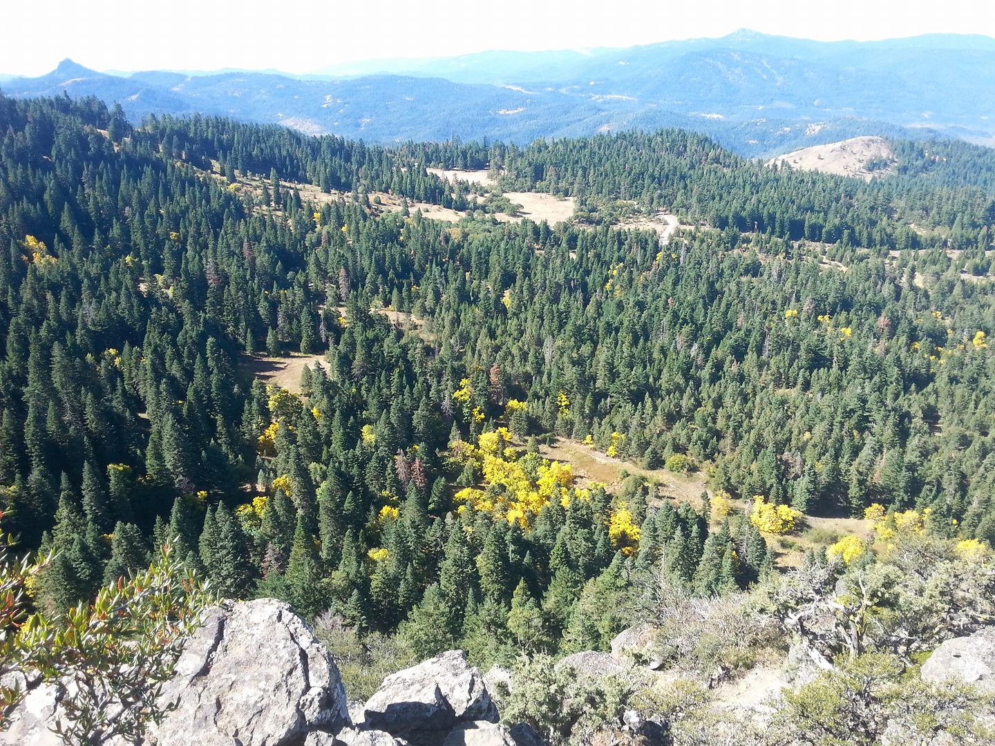
SKY LAKES WILDERNESS - BLUE CANYON BASIN
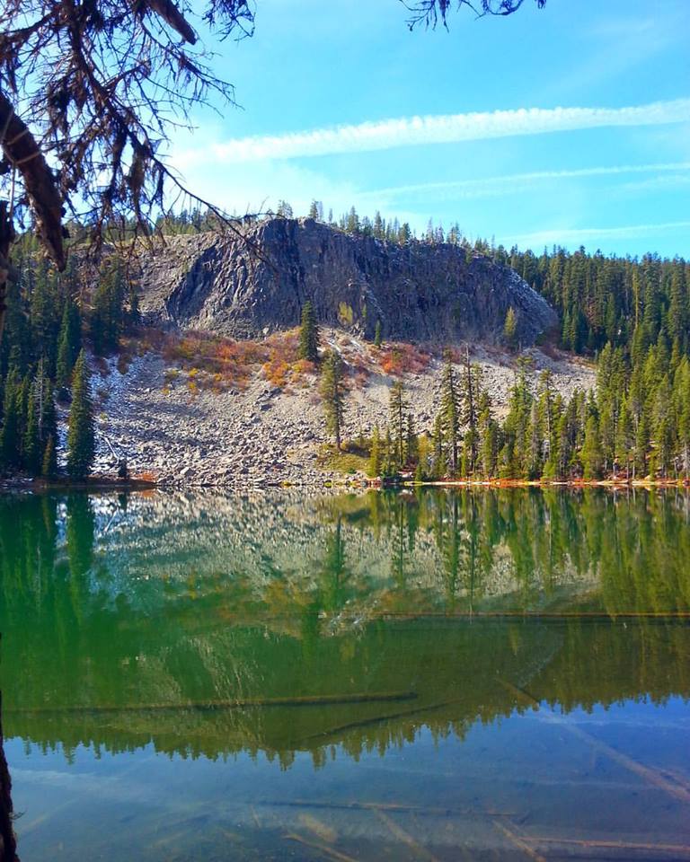
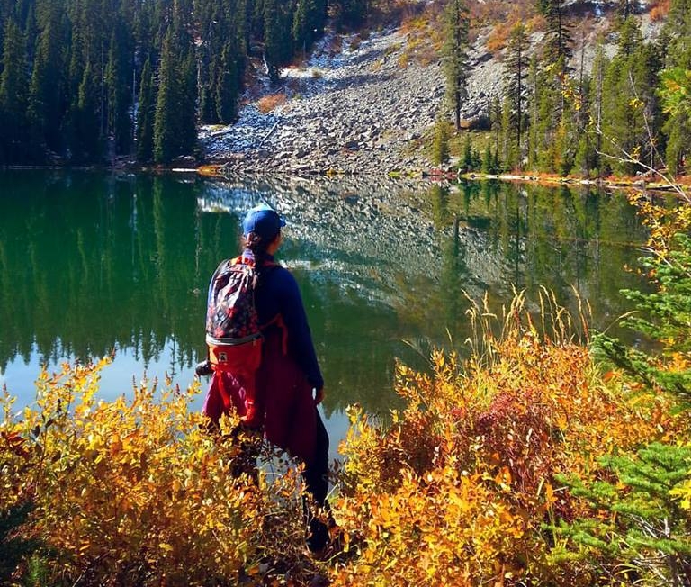
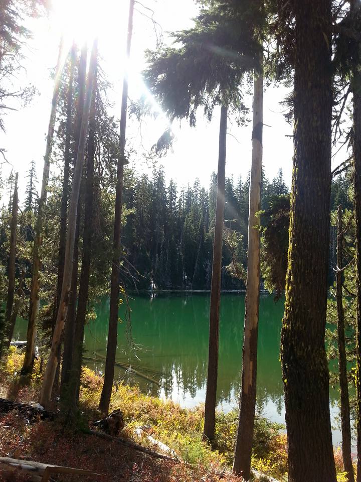
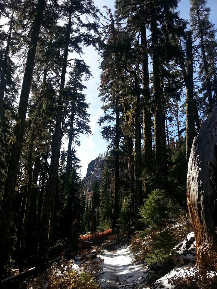
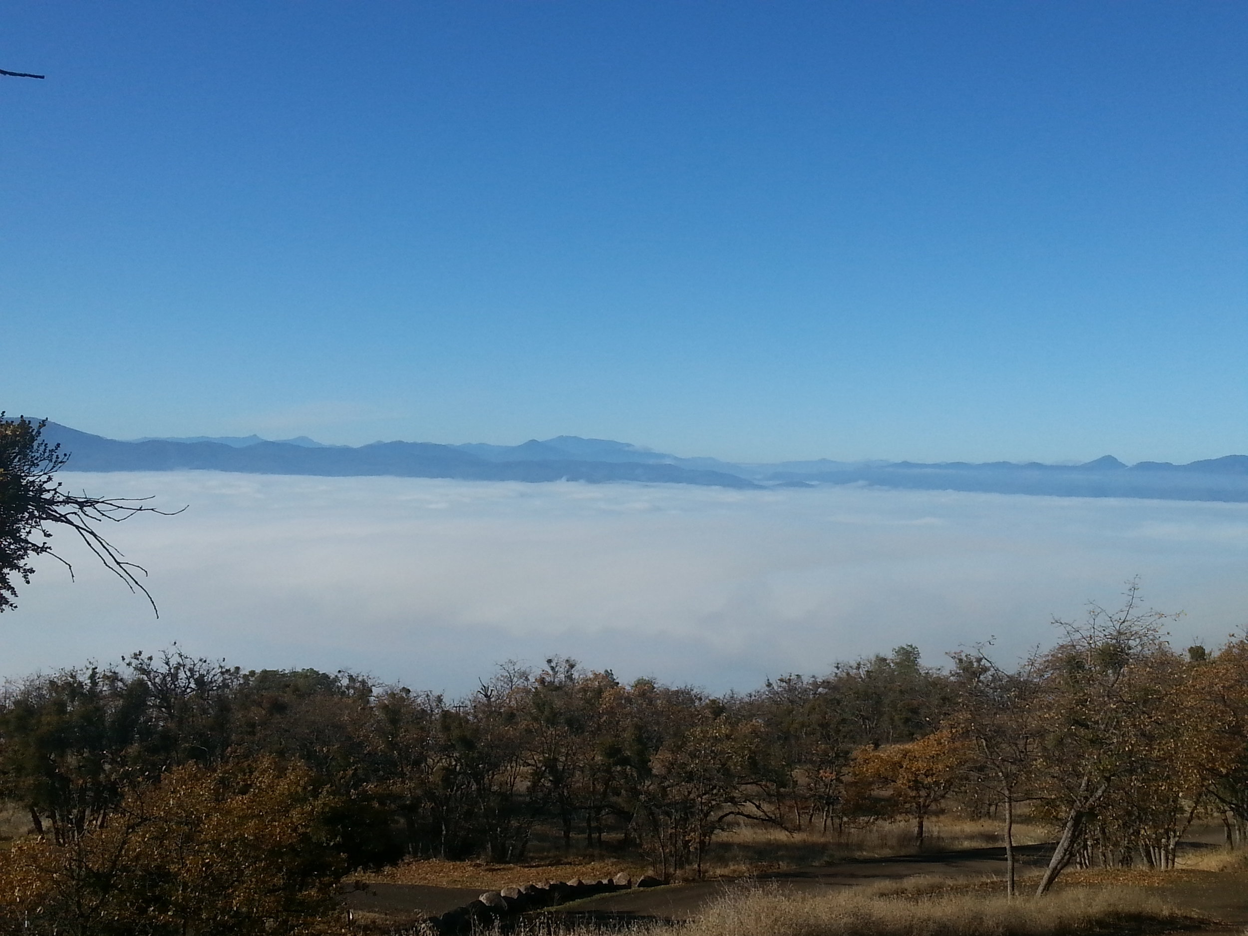
We could get lost for days in the Sky Lakes Wilderness. it is really popular for backpacking trips, but definitely wait until fall hits or early spring because the skeeters are terrible. Last year we went early October and there was already snow on the ground so make sure that you check the weather before you head out. We all were in awe at the beauty of Blue Lake and look forward to hiking more. Perhaps we will check a different trail out this fall!
Distance: 4 Mile, Out and Back | Difficulty:
When to go: End of September through Mid-October or so depending on weather.
How to get there: From Medford take OR 62 north to the Butte Falls turnoff near milepost 16. Turn right and drive to Butte Falls. Continue past Butte Falls on the same road for 1 mile to the Prospect turnoff. Cross the bridge and proceed 2 miles to gravel Racheria Road. Stay on Rancheria, which becomes FR 32, for 15 miles. FR 32 eventually merges with FR 37. After less than a mile on FR 37, a red gravel road, FR 3779 takes off right. Follow FR 3770 for 6 miles to the Blue Canyon Trailhead. MAP
Fall is perfect weather to get out on the trails to explore and we hope that this gets you started. Southern Oregon offers so many opportunities throughout the year but nothing as beautiful as fall. Have suggestions where you like to catch the fall colors? Drop your suggestions below, we would to explore some new spots! Happy hiking!